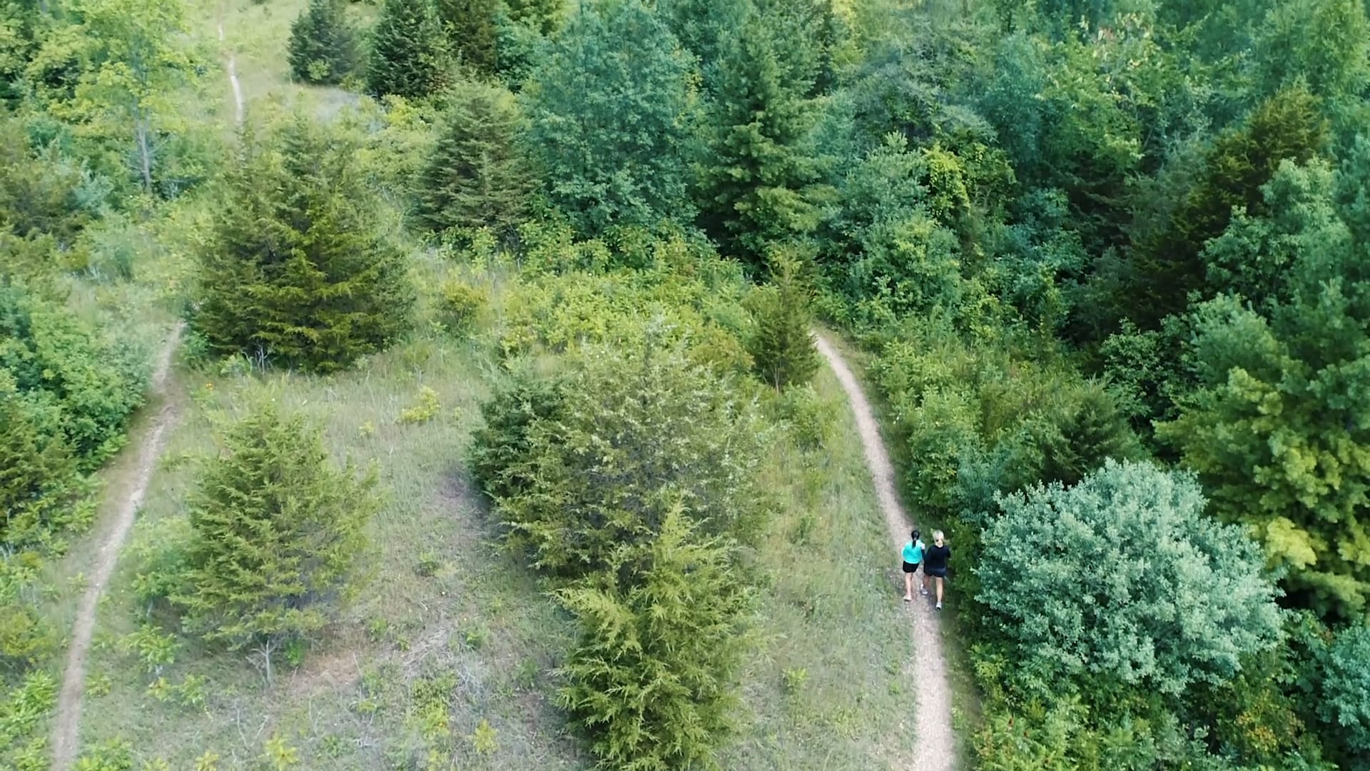
Kettle Moraine State Forest
Visitors can explore and enjoy almost 30,000 acres of rolling hills, lakes, forests, and grasslands. The forest is internationally known for its unique glacial features. Get a map of the Northern Unit here.
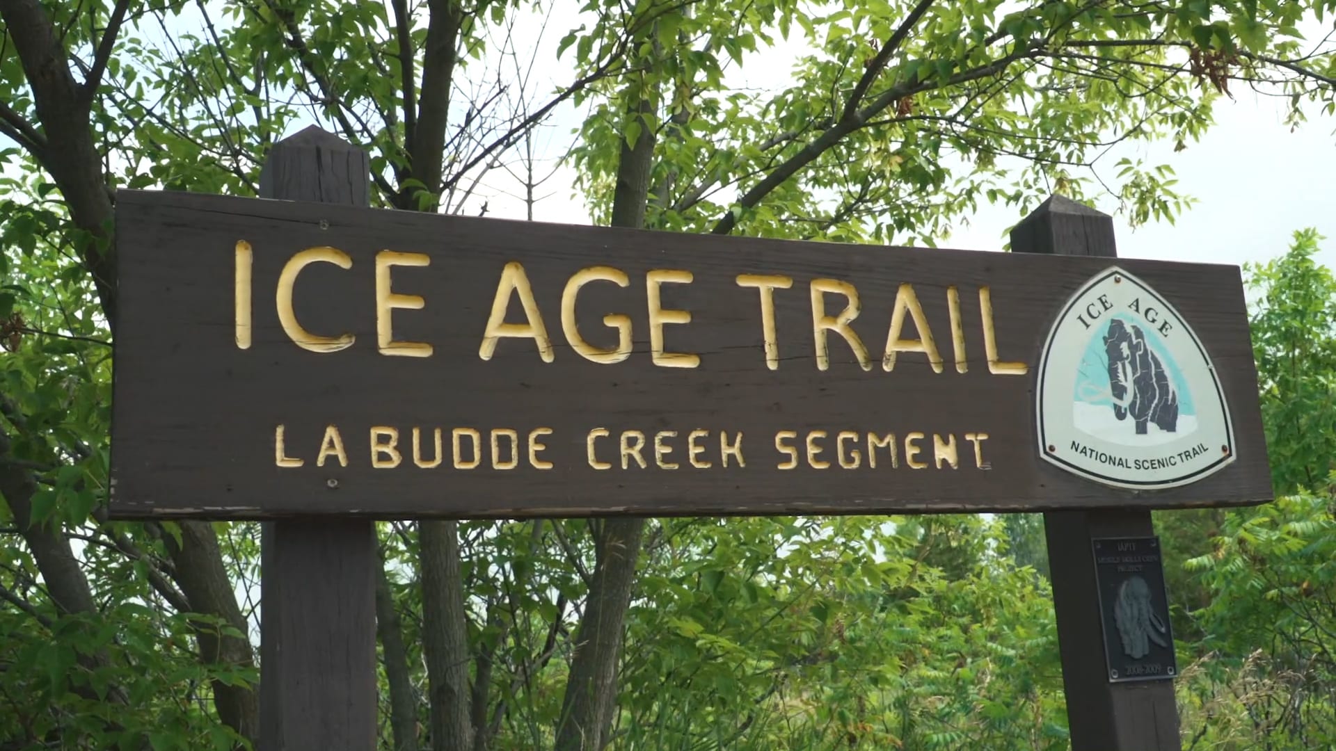
Ice Age Trail – La Budde Creek Segment
The 3.35 mile segment features hills that are small and easy rolllers. The LaBudde Creek Segment is either the last or the first of the segments in Sheboygan County. This segment remains a draw for day hikers visiting Elkhart Lake.
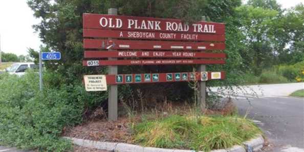
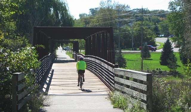
Old Plank Road Trail
The Old Plank Road Trail runs from the Kohler Erie Avenue Trailhead in the City of Sheboygan west roughly 17 miles to the hamlet of Greenbush. The terrain varies from flat to gently rolling with one large climb or descent near County Highway S just east of Greenbush.
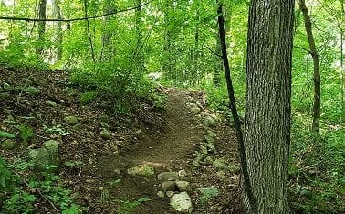
Rocky Knoll Mountain Bike & Hiking Trail
Explore the approximately 5 mile mountain biking and hiking trail at the 62-acre Rocky Knoll Health Center Campus. Get a map of the trail here.
Interurban Trail
Today, the Sheboygan Interurban Trail is a 14-mile paved and on-road trail that spans from the Ozaukee County/Sheboygan County Line to the City of Sheboygan. About 5.5 miles from the County line to the Village of Oostburg is off-road. The on-road sections traverse town roads with very, very low traffic volumes. About 1.5 miles of the on-road section traverses the main park road in the Kohler-Andrae State Park.
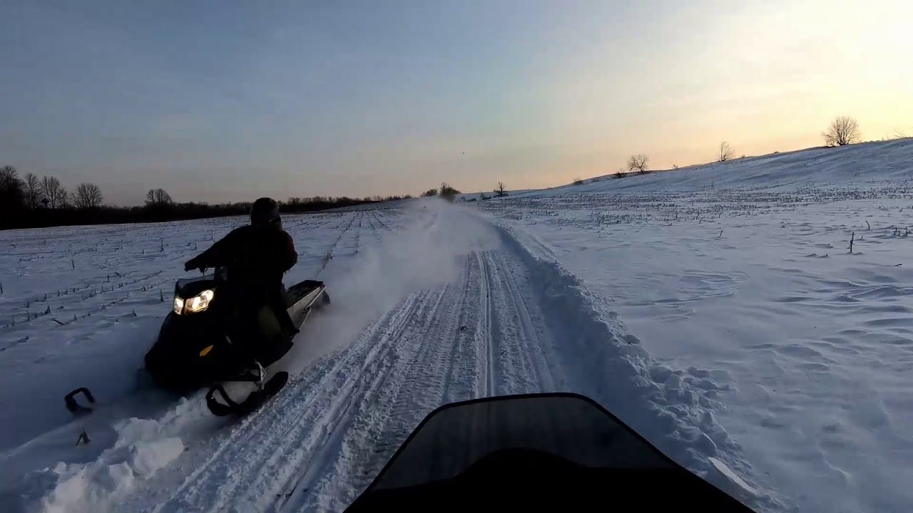
Sheboygan County Snowmobile Trails
Sheboygan County maintains 228 miles of public snowmobile trails when snow permits. For trail opening and closings, and trail conditions, please visit the Northern Kettle Moraine Snowmobile Association of Sheboygan County web site at: www.nkmsnow.com.